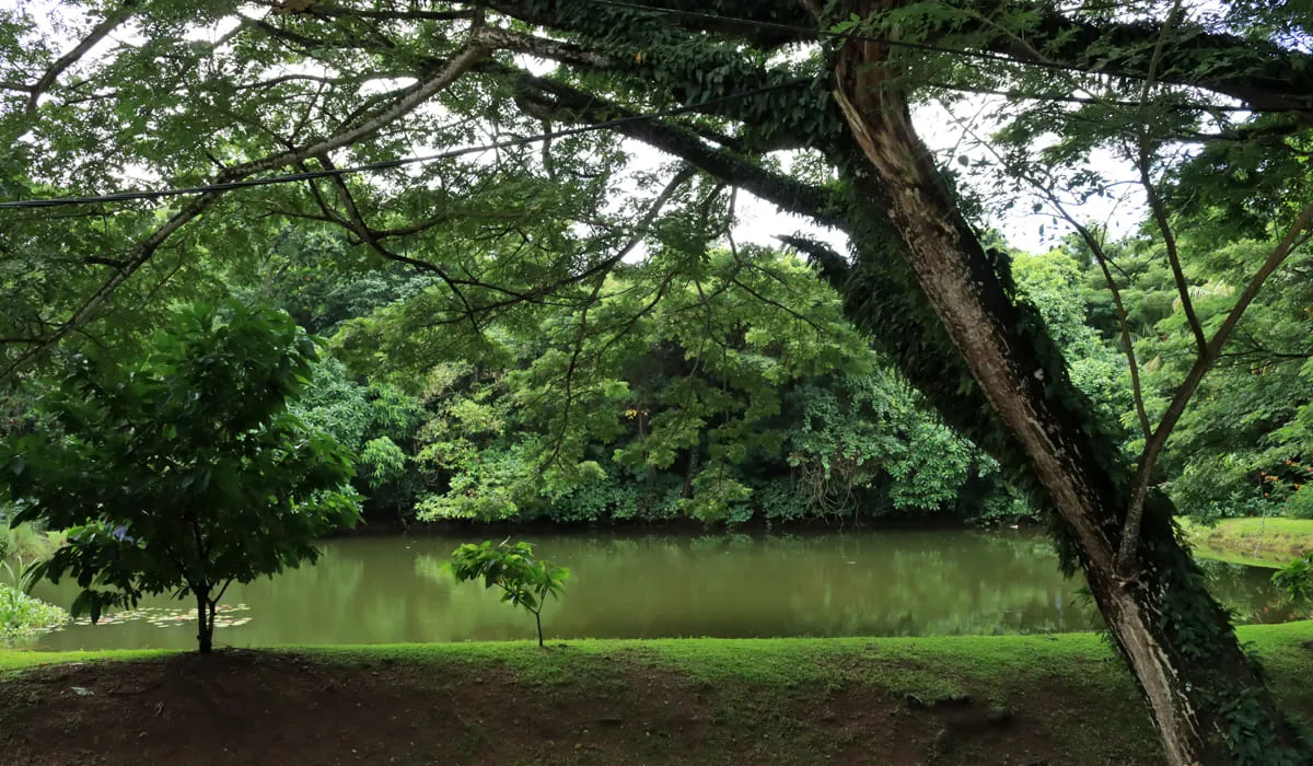
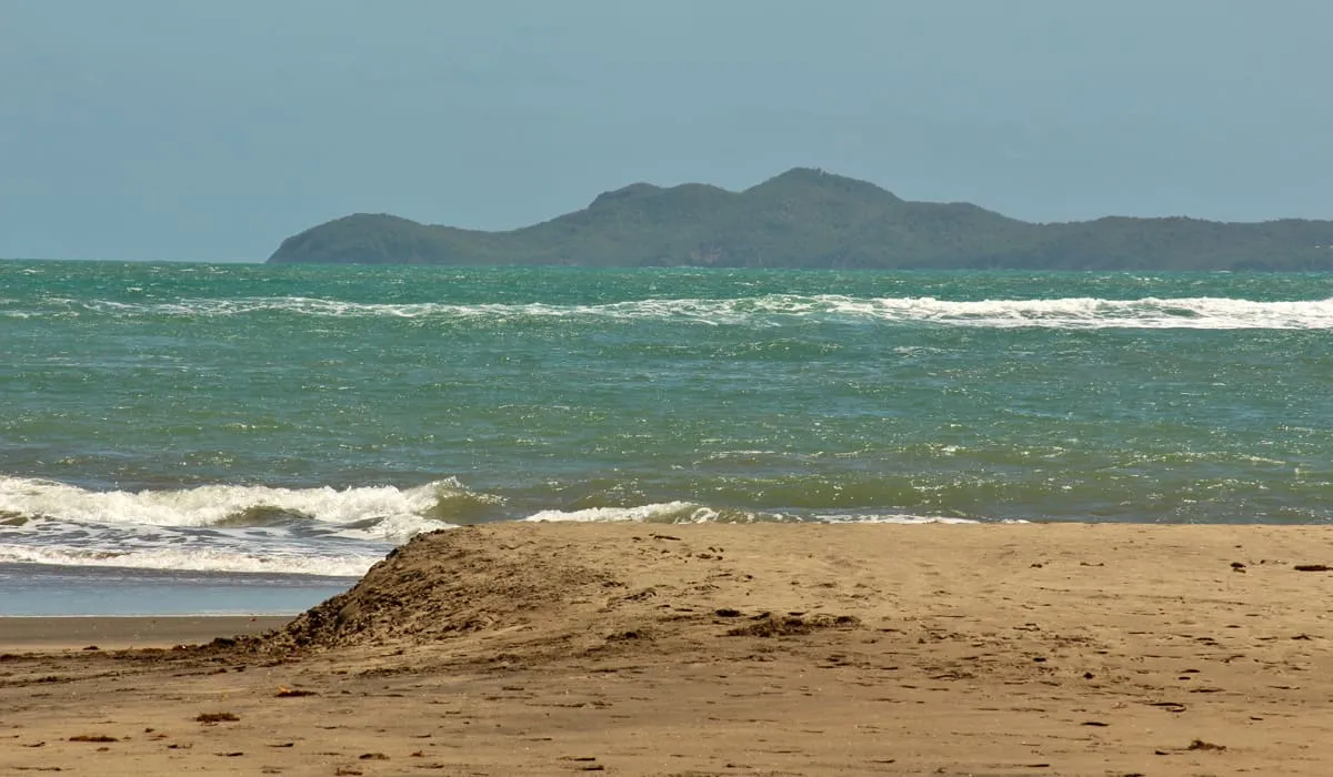
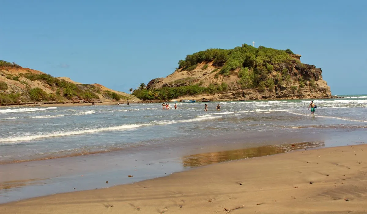
Salines pond

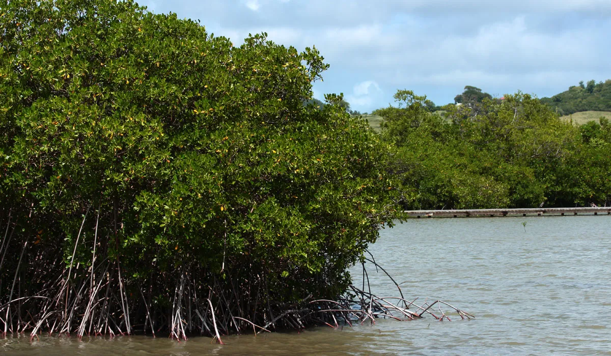
Near the Salines beach lies a vast protected area that includes the Salines pond (l'étang des Salines in French). This large pond shelters exceptional fauna and flora. Although today it is a protected site, in the past—thanks to its location and the resources it offered—it hosted a sugar plantation, and later served as agricultural land. Toward the end of the 20th century, viticulture was introduced at the Salines pond.

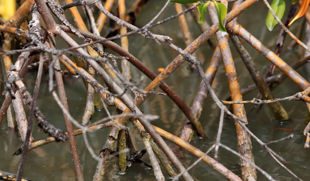
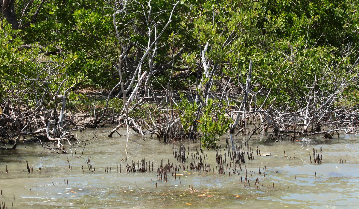
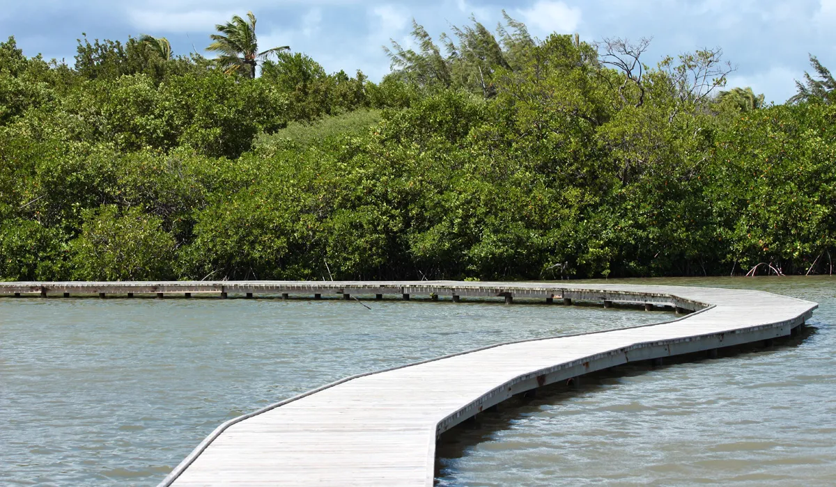
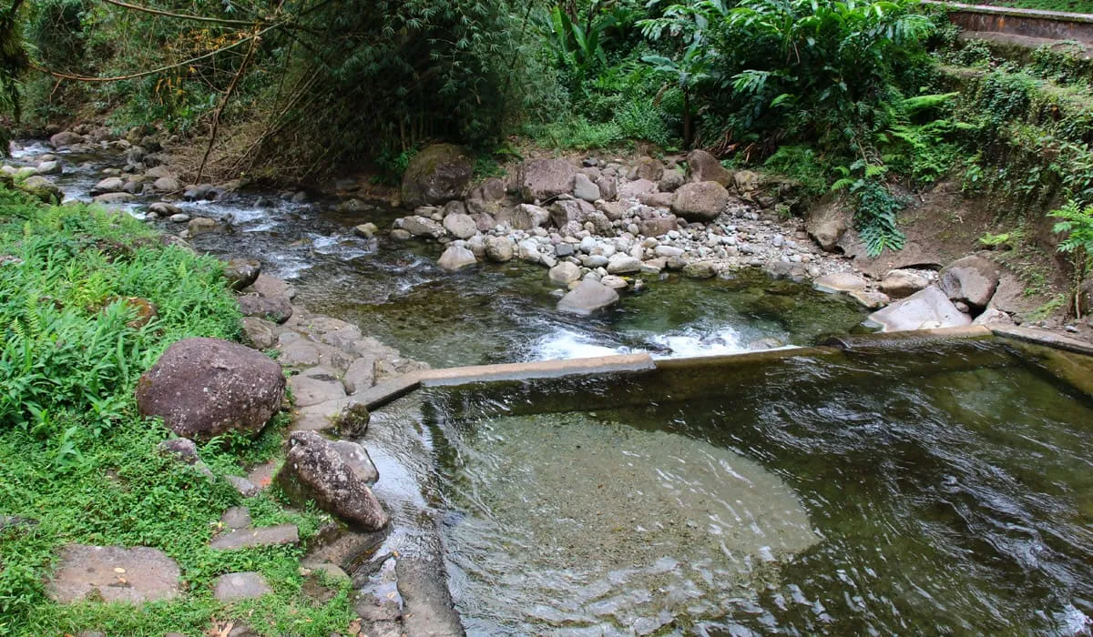
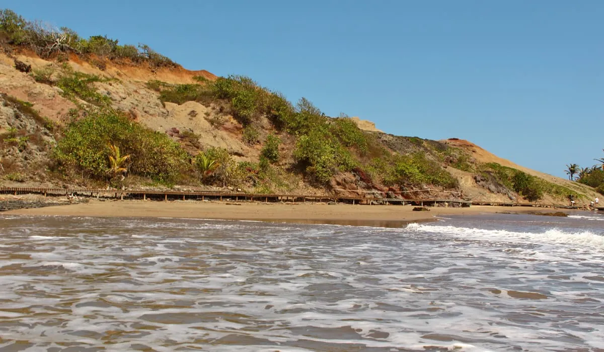
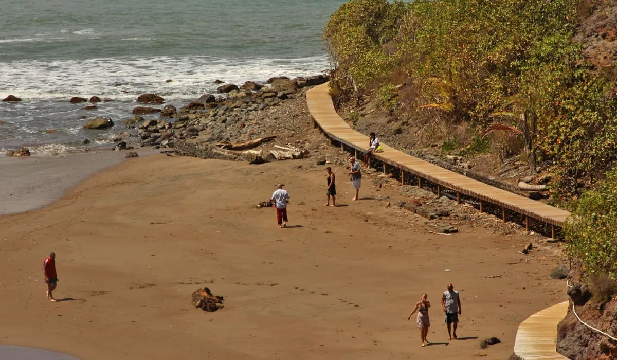
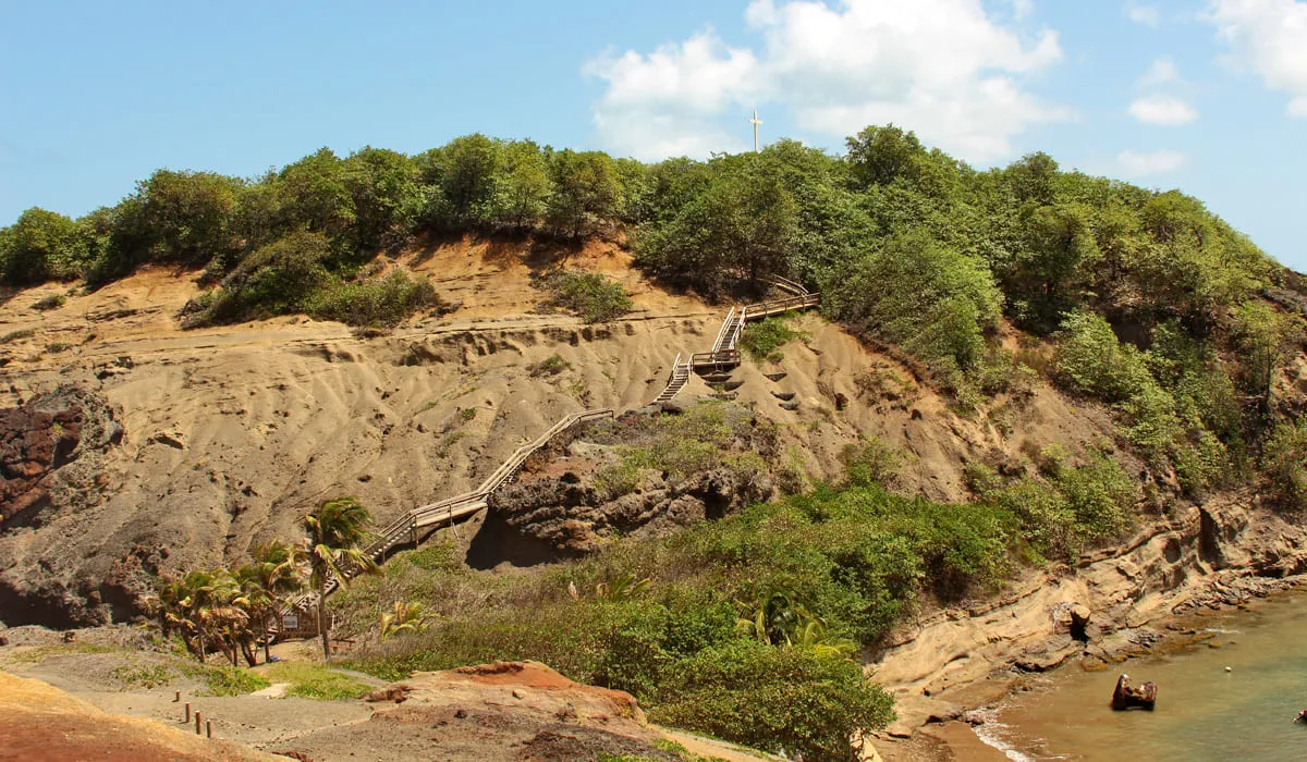
Since 1998, the pond has been protected by the Coastal Conservatory. In 1999, it was recognized as a wetland of international importance under the Ramsar Convention. Today, the Association for Memory and Heritage of Sainte-Anne (AMEPAS) helps visitors discover this unique site in Martinique. The pond has been developed with a boardwalk trail that allows you to admire the local fauna and flora up close. Its bottoms are muddy, grassy, and sandy.

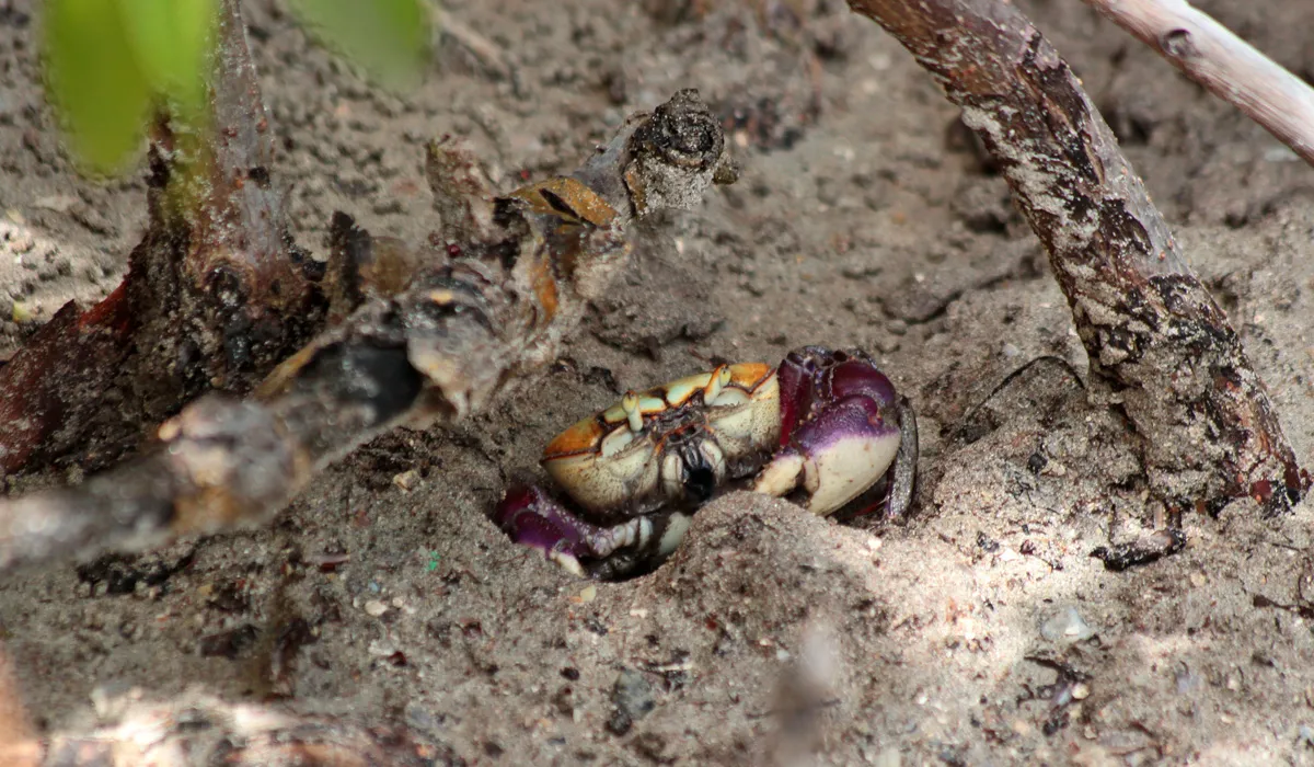
The Salines pond is a haven for wildlife. Thirty-eight species of fish, five species of shrimp, and ten species of crabs live here. Both freshwater fish and those adapted to saltwater environments can be found (such as garfish, mullet, pike, eel, moray, and sole).

You can also observe migratory birds. These birds, coming from North America, stop here for a few hours or days—sometimes for reproduction—before continuing their journey to spend the winter in South America. Migratory birds are mainly visible during the last quarter of the year.

Photo gallery
Salines pond
Salines pond
Crab at Salines pond
Crabs at Salines pond
Mangroves
Mangroves
Salines pond
Salines pond
Salines pond
Salines pond
Salines pond
Salines pond
Salines pond
Salines pond
Vegetation at Salines pond

Saut Argis

In the Lessema district, the Saut Argis waterfalls are located in a forest park covering approximately one hectare.

The slope is concave, allowing for the installation of a wooden structure. Two waterfalls have been formed.

The area was recently developed by the Parc Régional Naturel de la Martinique (Martinique Regional Nature Park) and the municipality of Gros-Morne. Stairs lead to the waterfalls.

Tables and benches are also provided under shelters for those who wish to picnic there.

The site is currently closed to the public.

Photo gallery
Saut Argis Waterfall
Path leading to the Saut Argis Waterfall
Red torch ginger
Red torch ginger
Saut Argis Waterfall

Memorial Cap 110

Cap 110 is a memorial erected in remembrance of slavery. It was built at Anse Caffard in 1998, for the 150th anniversary of the abolition of slavery, by Laurent Valère, a Martinican painter and sculptor.

The choice of Anse Caffard is significant. It was near this cove—named after the colon Jean Caffard—that a ship carrying 300 enslaved people crashed onto the coastal rocks during a violent storm on the night of April 8, 1830. Yet at that time, the slave trade had been illegal since 1817.

The ship was completely destroyed, making it impossible to identify its name or origin. Only six bodies were recovered. The sailors were buried in the cemetery, while the enslaved victims were laid to rest near the shore. Eighty‑six captives—26 men and 60 women—survived the wreck and were taken to Fort‑de‑France.

The 15 statues are said to be made of reinforced concrete and whitened with sand from Trinidad and Tobago. Each weighs around four tons and stands 2.5 meters tall.

All of them share the same bowed, sorrowful face, eyes lowered toward the earth and the sea. They represent the anonymous victims of the transatlantic slave trade, which lasted three centuries (from the 17th to the 19th century) between Europe, Africa, and the Americas.

The 15 white concrete figures carry multiple layers of symbolism. White represents mourning in the Caribbean. Their triangular arrangement evokes the triangular trade between Europe, Africa, and the Americas. Their orientation—110° east—points toward the Gulf of Guinea, from where the ship likely originated. The memorial faces the Diamond Rock.

Photo gallery
Memorial Cap 110
Memorial Cap 110
Memorial Cap 110
Memorial Cap 110

Trois Rivières

Trois Rivières is a distillery located in the commune of Sainte-Luce, in the district that shares its name, about 5 km from the town center. The estate spans approximately 600 hectares, including 120 hectares where sugarcane is cultivated in rotation with cattle farming. However, the distillery has not been active since 2003. The brand is now managed by the La Mauny distillery in Rivière-Pilote. A windmill is said to have once stood on the Trois Rivières site.

Trois Rivières white agricultural rum is available in 50°, 55°, and 62° proofs. These rums carry the Appellation d’Origine Contrôlée (A.O.C.) designation.

The Habitation Trois Rivières, also known as Habitation Grand Céron, was once the property of Nicolas Fouquet (1615–1680), Superintendent of Finances for the Kingdom and protégé of Cardinal Mazarin. Before his downfall and imprisonment by order of Louis XIV, Fouquet had built a sugar refinery on the site, along with an annexed distillery—remnants of which still exist today.
It was during the 19th century that the Céron estate was relocated to its current site.

Visitors can choose between a free self-guided tour and a paid guided tour that includes a tasting. There is also a boutique where guests can purchase branded items such as glassware sets, rum gift boxes, and other Trois Rivières merchandise.

Photo gallery
Trois Rivières distillery

Coeur Bouliki

Cœur Bouliki is a small natural spot located in the municipality of Saint-Joseph. It will delight those who love nature and want to escape the crowded beaches of the south of the island.

It is a river in the middle of the forest, offering lush greenery where hikers can stroll and those who prefer swimming can enjoy a refreshing dip in the Blanche River.

A marked trail allows visitors to discover the tropical forest flora. 

Picnics are also possible, with tables and benches provided for this purpose.

The site is regularly maintained by the town of Saint-Joseph.

It is also a popular training ground for the military.

To get to Cœur Bouliki, follow the signs to the town of Saint-Joseph, then take the D15b towards “Morne les olives” and turn left.

Photo gallery
Cœur Bouliki
Cœur Bouliki
Cœur Bouliki
Cœur Bouliki
Cœur Bouliki
Cœur Bouliki
Cœur Bouliki
Cœur Bouliki
Cœur Bouliki
Cœur Bouliki
Cœur Bouliki
Cœur Bouliki
Cœur Bouliki
Cœur Bouliki
Cœur Bouliki
Cœur Bouliki
Cœur Bouliki
Cœur Bouliki

Alma River

Located on Route de la Trace, the Alma River is a delight for visitors seeking total harmony with nature.

Its lush tropical forest setting and abundant vegetation provide a haven of peace for anyone wishing to commune with Mother Nature in complete tranquility. Its cool water is a refreshing alternative to the warmer waters of the beaches.

Canyoneers can visit it by climbing Piton Boucher and then descending the 40-meter waterfall, while hikers can jump into the pools from a height of about 3 or 4 meters.

Picnicking is also possible.

To get there by car via Fort-de-France, take the N3 towards the Médaille district and park at the Plateau Boucher car park.

Photo gallery
Alma River
Alma River
Alma River
Alma River
Alma River
Alma River
Alma River
Alma River
Alma River
Alma River
Alma River
Alma River

Habitation Céron

Habitation Ceron is a former sugar factory built in the early days of colonization in 1685, located in the town of Prêcheur. It was a place of growing coffee, cocoa, cassava and banana, but above all, a place of business of the sugar cane (rum and sugar cane). It is now partly in ruins, destroyed by the eruption of Mount Pelee the May 8, 1902.

Vestiges of its sugar past are still present because some buildings have withstood the lavas of the Mount Pelee but the Habitation is now primarily a tropical garden. A restaurant on site will allow you to taste the local flavors including many seafood (crayfish, chatrou, conch, fish) if you choose to eat there.

As an activity, you can make a very nice hike to a small waterfall and a pool for a nice river bath or excursions using a quad.

Photo gallery
Habitation Céron
Habitation Céron
Jardin de lHabitation Céron
Étang de l'Habitation Céron

Gallery of history and Sea

At the History and Sea Gallery (Galerie d’Histoire et de la Mer), discover the entire history of Native American, Arawak, and Caribbean settlement, set against the backdrop of the wonderful world of the sea.

The gallery is organized around two main themes: the history of the northern Caribbean and Martinique, and the world of the sea and fishing.

The museum is located in the village of Carbet, opposite the town hall, near Bourg Beach.

To get there, head towards the village of Carbet.

Photo gallery
Galerie d’Histoire et de la Mer

Tombolo

The "Tombolo" is a broad band of sand formed by ocean currents that connects Sainte-Marie islet to the town on foot. Beware though, it is only during Lent, the warm season (December to April) that it is possible.

The Tombolo is an Italian word which means a sand spit built by littoral drift. This construction related to a climatic phenomenon can only be made between two points whose depth does not exceed 10 meters. This achievement is due to the influence of the Bermuda High. During the rainy season, the tombolo is automatically destroyed.

Sainte-Marie islet plays an essential role in Sainte-Marie. It protects against swell during periods of high sea. In the past, he served as an observation post with two guns during the wars against the English. Until the 40s, a railway was used to transport goods between the city and the islet.

So if you want to go on the islet, opt for a stay in Lent to go through the Tombolo.

Photo gallery
Îlet Sainte-Marie
Îlet Sainte-Marie
Vue rapprochée de l'îlet Sainte-Marie
Chemin séparant l'îlet Sainte-Marie des côtes
Vue rapprochée de l'îlet Sainte-Marie
Îlet Sainte-Marie
Îlet Sainte-Marie
Chemin séparant l'îlet Sainte-Marie des côtes
Vue rapprochée de l'îlet Sainte-Marie

Ecomuseum of Martinique

The Ecomuseum of Martinique was created in 1993 by the Association of Promotion of Martinique and Protection of Popular Arts and Traditions (AMPATP in french). It wanted to collect, preserve heritage objects from Martinique in order to convey to the public and visitors to the island a retransmission of the island's past through objects.

The collection of objects has been initiated in four towns in the south of the island including Rivière-Pilote where is the museum. Then the municipality of Rivière-Pilote acquired a distillery approximately 900 square meters on the beach of Anse Figuier to exhibit collections.

The Ecomuseum presents varied collections from Amerindian prehistory to the present day through the beginnings of French colonialism and its economy focused on cotton, tobacco and indigo, slavery period and large crops of sugar cane, coffee, and cocoa, time of central manufacturies, and later, the advent of the banana economy.

In 1998, the Ecomuseum became a regional museum. The tour is limited to one hour per person or group.

It is free for students and is limited to groups of 40 people in the projection room.

Photo gallery
Ecomuseum of Martinique